Data Products
SILO provides the following products:
Point datasets

A continuous daily time series of data at either recording stations or grid points across Australia:
Data at station locations consists of observational records which have been supplemented by interpolated estimates when observed data are missing. Datasets are available at approximately 8,000 Bureau of Meteorology recording stations around Australia.
Data at grid points consists entirely of interpolated estimates. The data are taken from our gridded datasets and are available at any pixel on a 0.05° × 0.05° grid over the land area of Australia (including some islands).
Gridded datasets
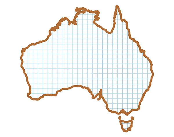
Gridded daily climate surfaces which have been derived either by splining or kriging the observational data:
The grid spans 112°E to 154°E, 10°S to 44°S with resolution 0.05° latitude by 0.05° longitude (approximately 5 km × 5 km).
Gridded data are provided in NetCDF and GeoTiff formats.
The NetCDF data are arranged in annual blocks. Each annual file contains all of the daily grids for a given year and variable (or 12 monthly grids in the case of monthly rainfall). The GeoTiff datasets contain a single daily grid in each file (or a single monthly grid in the case of monthly rainfall).
